
COUNTRY GUIDE · Oceania
Kiribati
Explore the geography, landmarks, and distinctive stories of Kiribati.
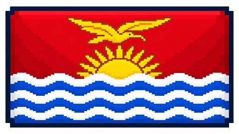
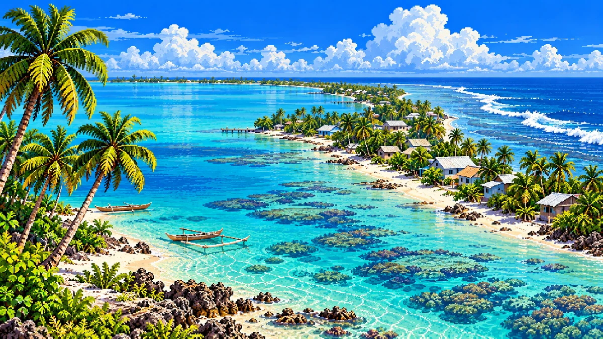
Kiribati at a glance
- CAPITAL
- South Tarawa
- REGION
- Oceania
- POPULATION
- 106,461
- AREA
- 811.0 km²
- LANGUAGE
- English
- CURRENCY
- Australian Dollar (AUD)
COUNTRY SUPERLATIVE
Four Hemispheres
Kiribati spans both sides of the equator and the 180th meridian.
DID YOU KNOW?
A surprising detail about Kiribati
Kiribati shifted the International Date Line in 1995 so all its inhabited islands would share the same calendar date.
Geography and nearby countries
PinPointr places Kiribati in its Oceania region. Its reference dataset lists an area of 811.0 km² and a population of approximately 106,461. The country is not listed as landlocked in PinPointr’s geography reference.
Listed land neighbors
No land borders in the PinPointr reference data.
Country statistics are fixed PinPointr gameplay references and may differ from current government or international estimates. Country highlights and illustrations are educational material, not official travel advice.